Plan and Review Routes
View routes alongside airport, procedure, and weather data in a single context for better operational decision-making.
 SKYline PilotDock OS
SKYline PilotDock OS is a next-generation electronic flight bag built on aviation data, map rendering, and computation — unifying routes, weather, airports, and procedures in a single workspace.
Capabilities
SKYline PilotDock OS connects route planning, weather, procedures, and airport familiarization — rather than treating them as isolated tools.
View routes alongside airport, procedure, and weather data in a single context for better operational decision-making.
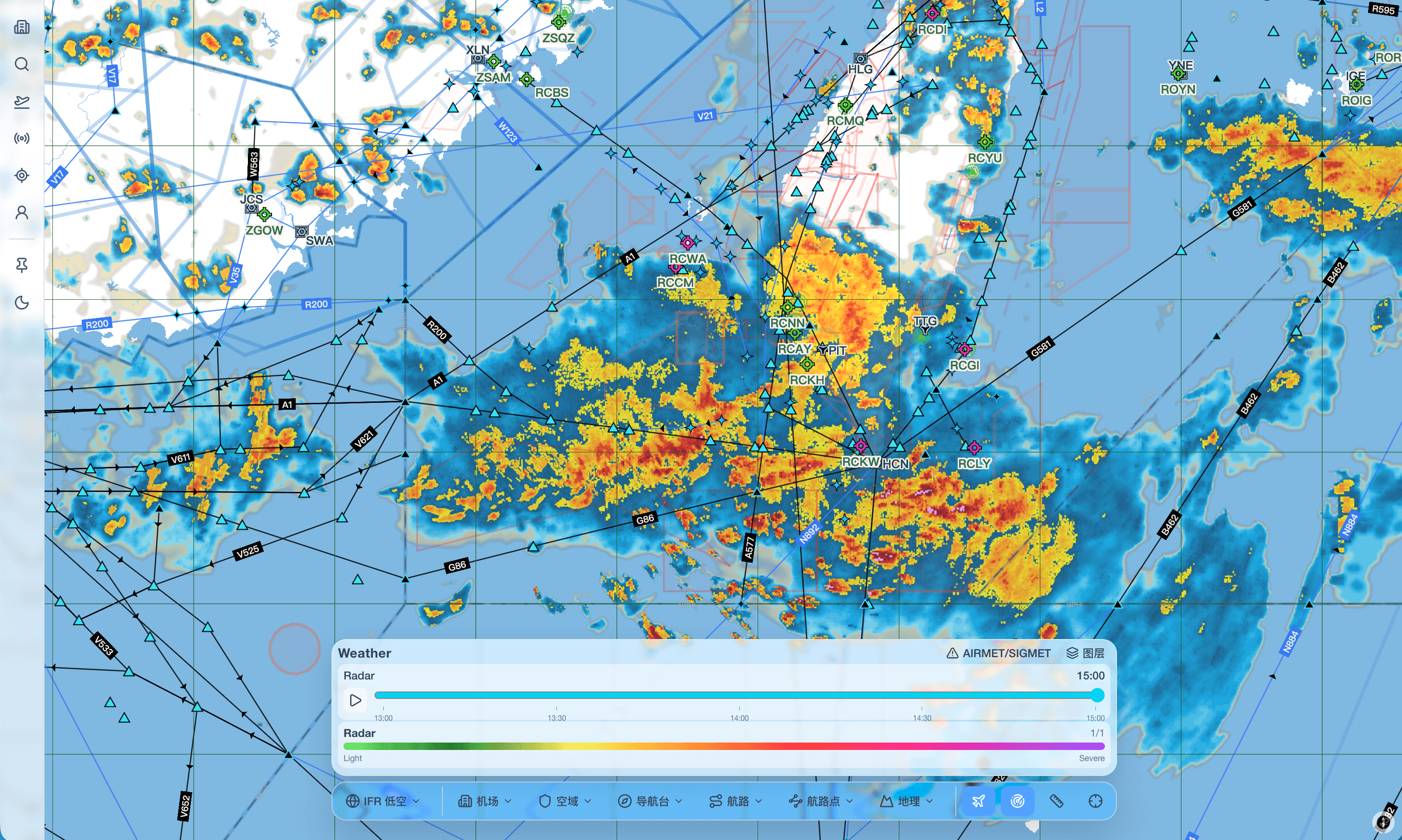
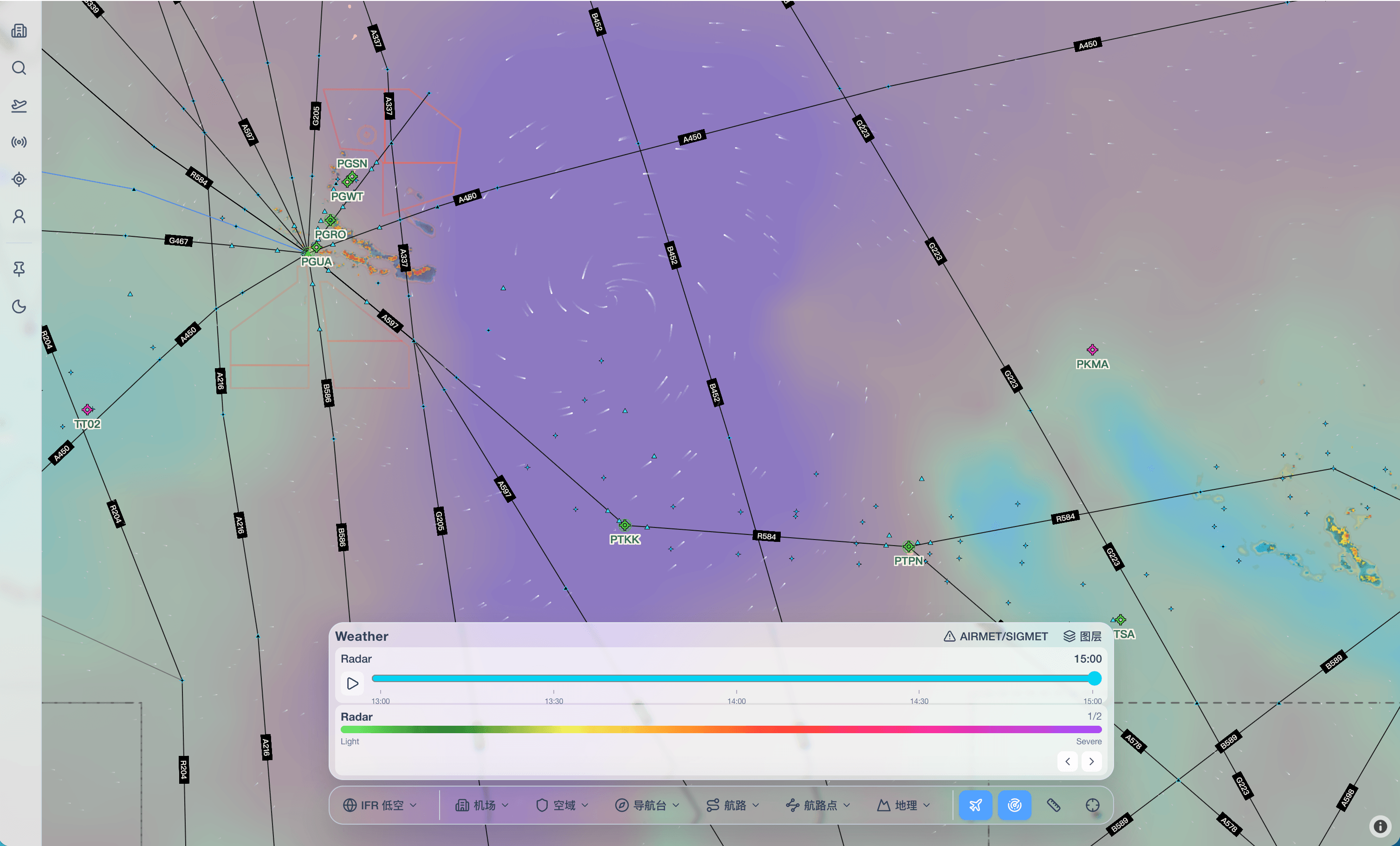
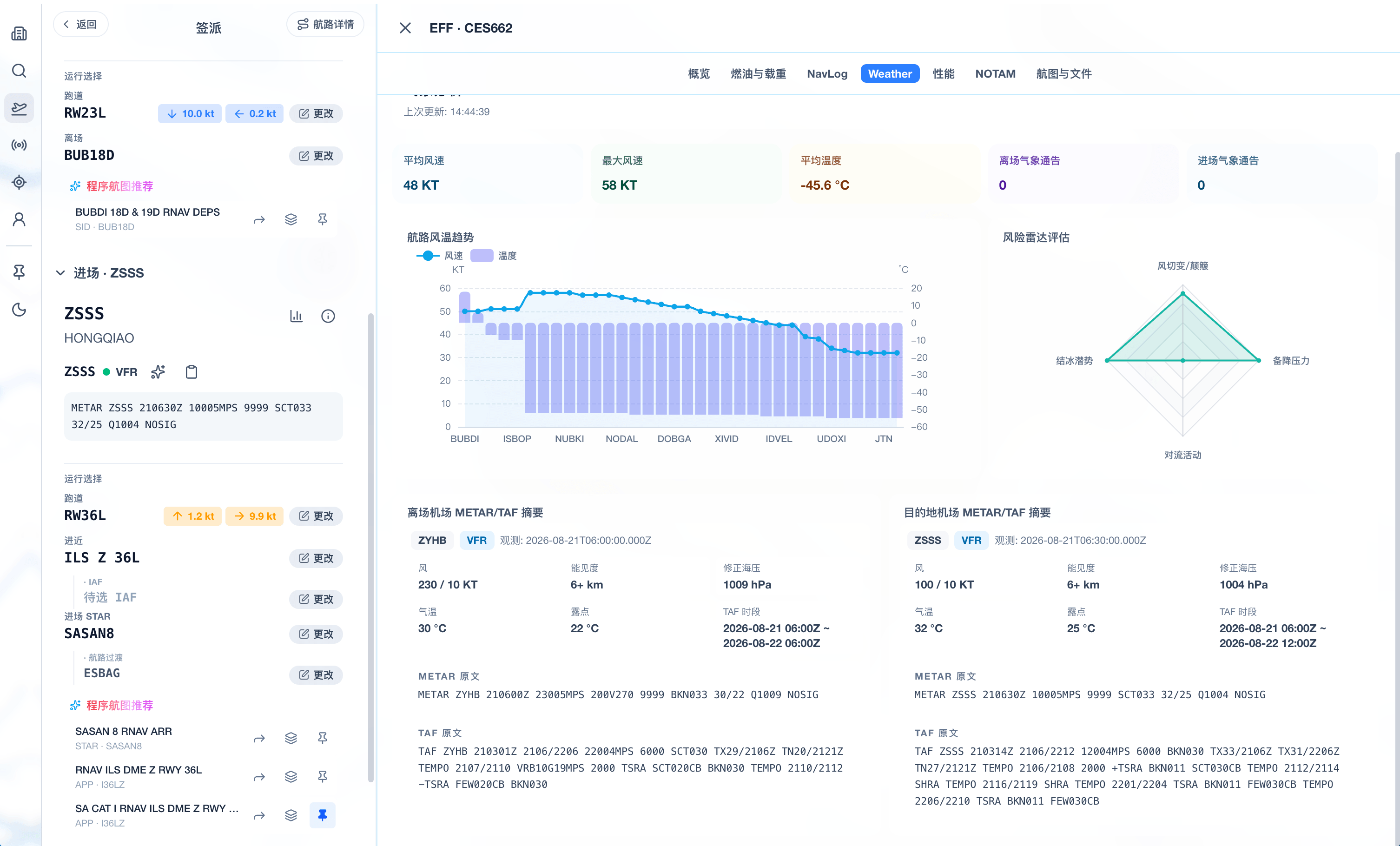
Bring temperature, wind, pressure, humidity, and SIGMET information into a route-centric view.
Review runways, taxiways, stands, and surrounding areas using airport and AMM data.
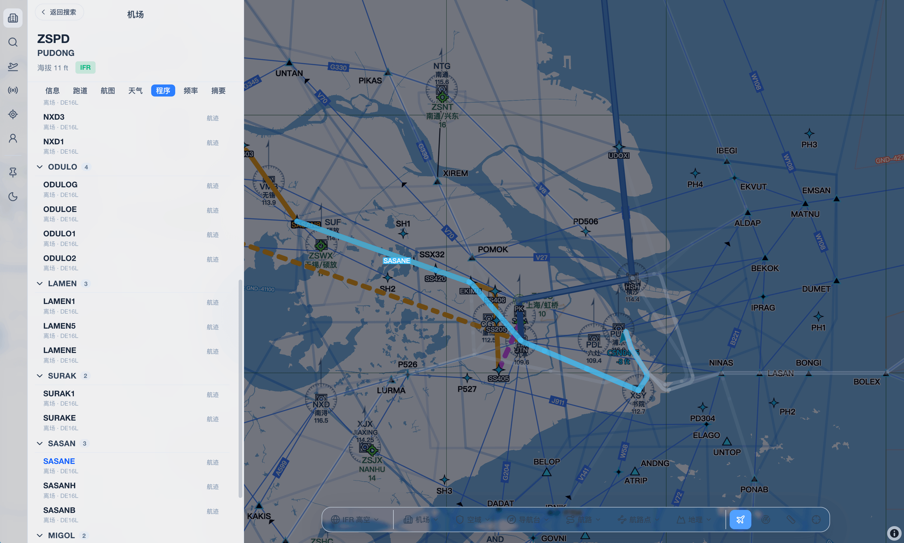
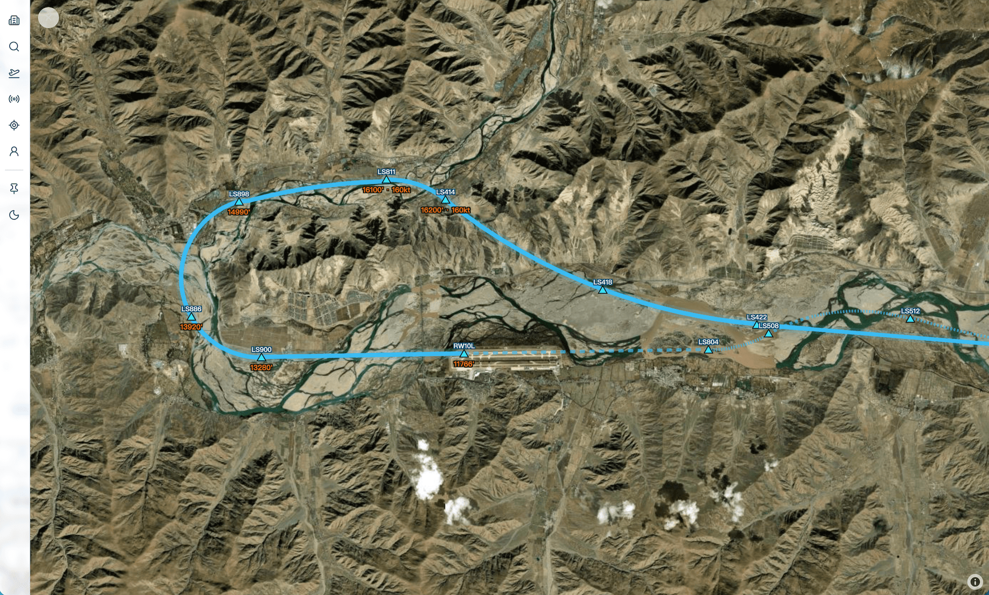
Visualize SID, STAR, and approach paths on the map, including waypoint sequences, turns, and altitude constraints.
Connect route, weather, airport, and procedure data within a single EFB — reducing context switching between disconnected views.
Product Interface
Each module provides a focused view within the same EFB — routes, weather, airports, procedures, dispatch, and AI assistance all share the same foundation.
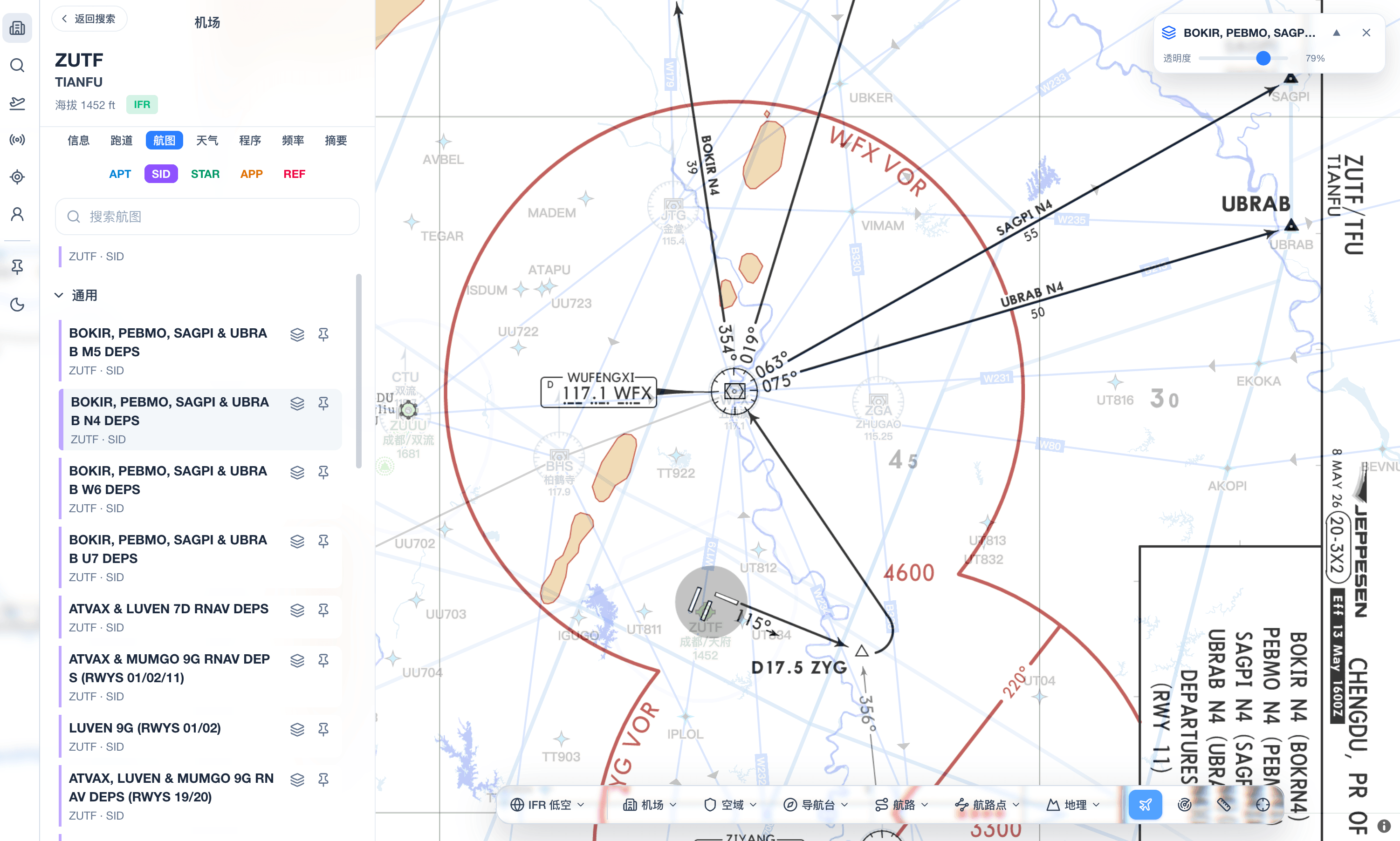
The enroute chart sits at the core of the system, serving as the primary canvas for flights, navaids, weather, and terrain — designed specifically for route flying and reading, not as a chart viewer separate from the EFB.
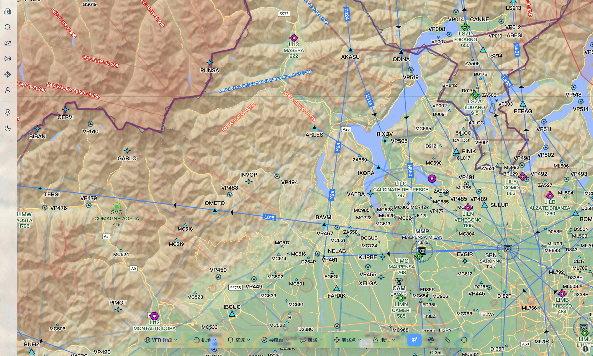
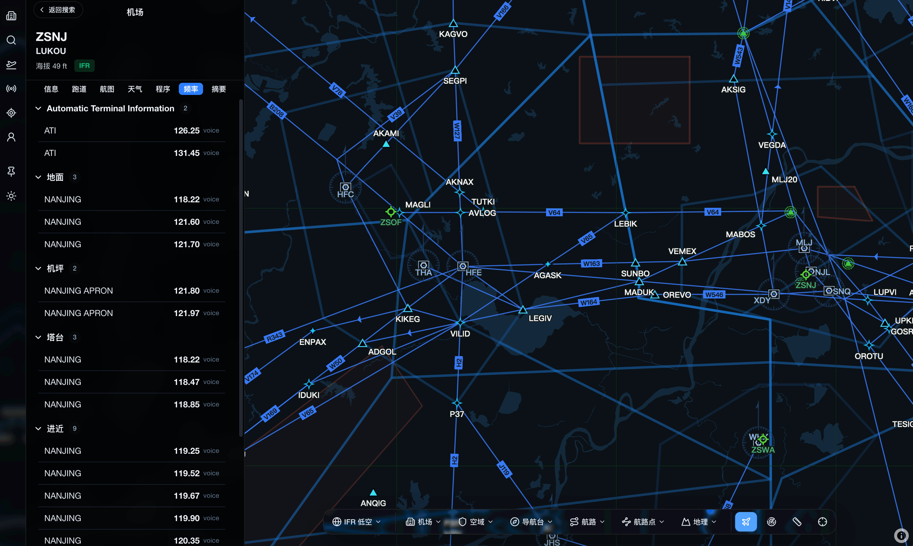
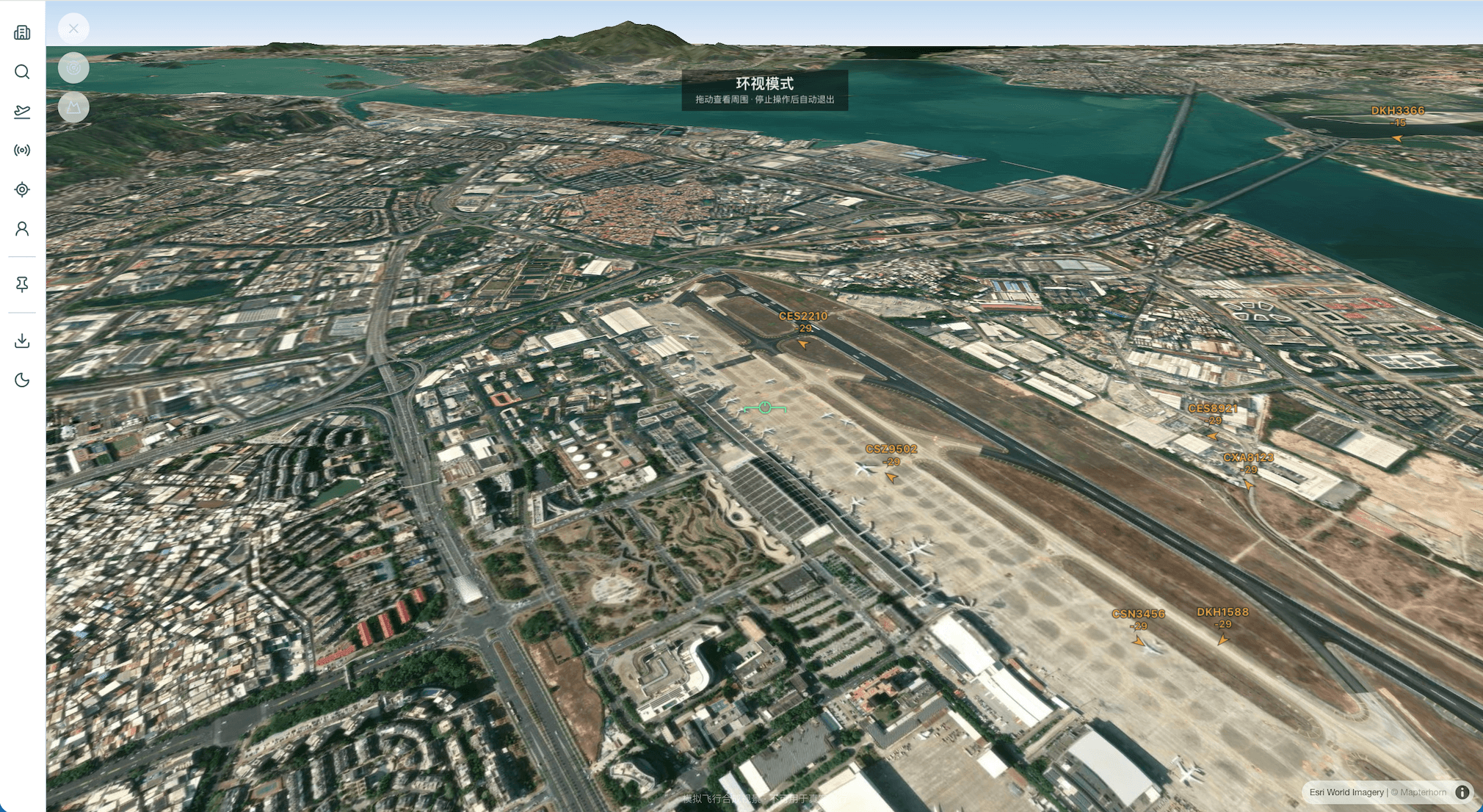
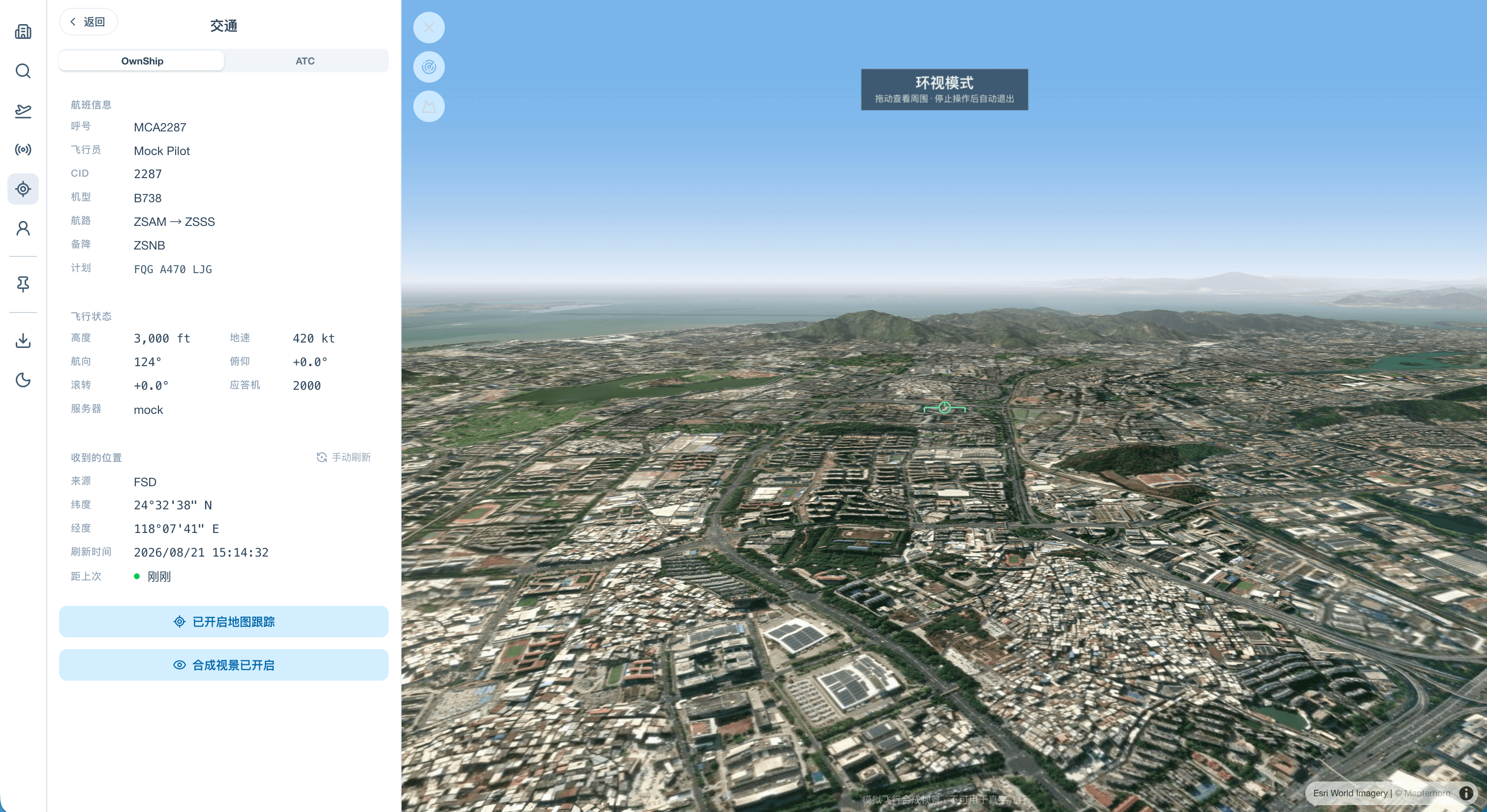
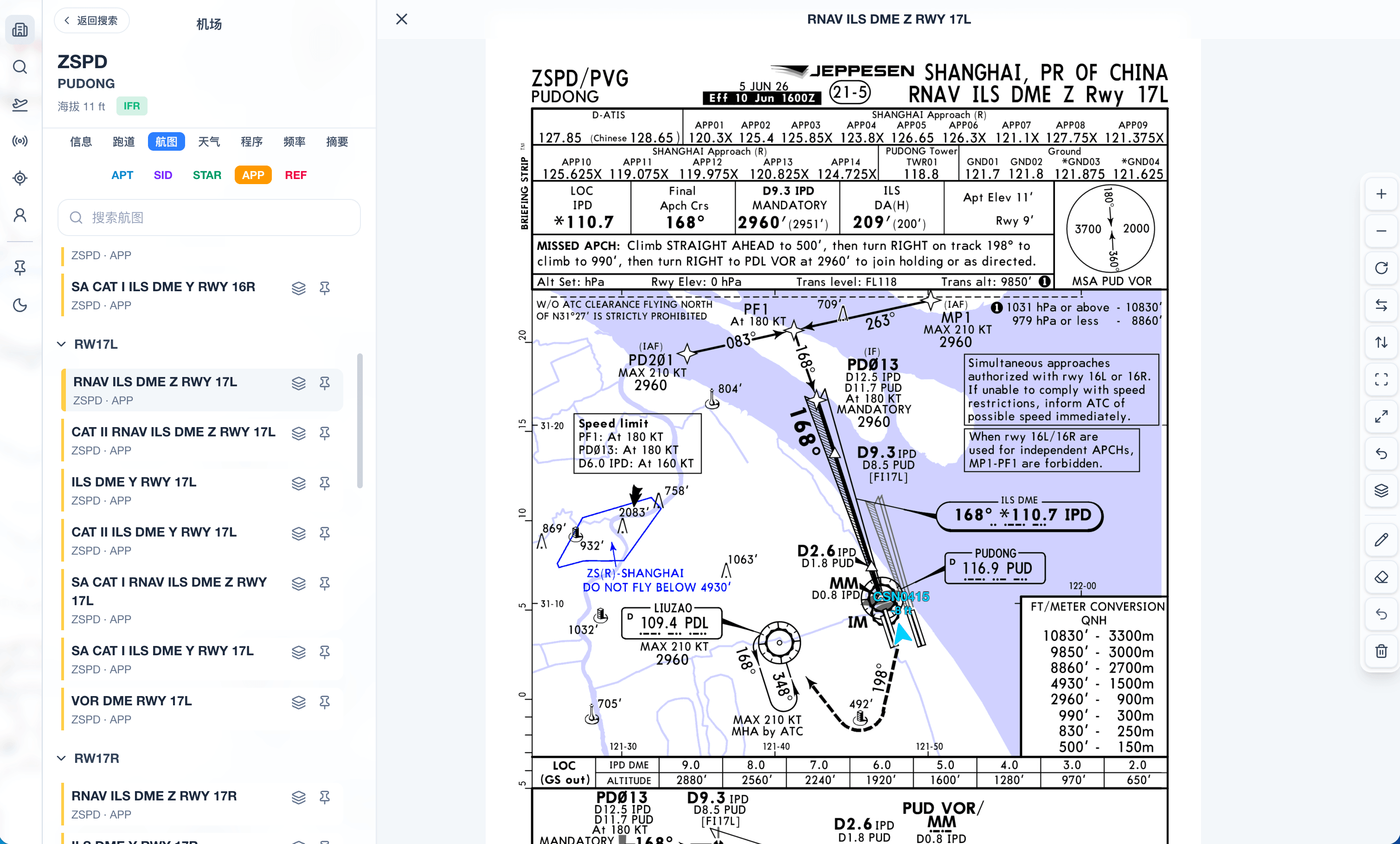
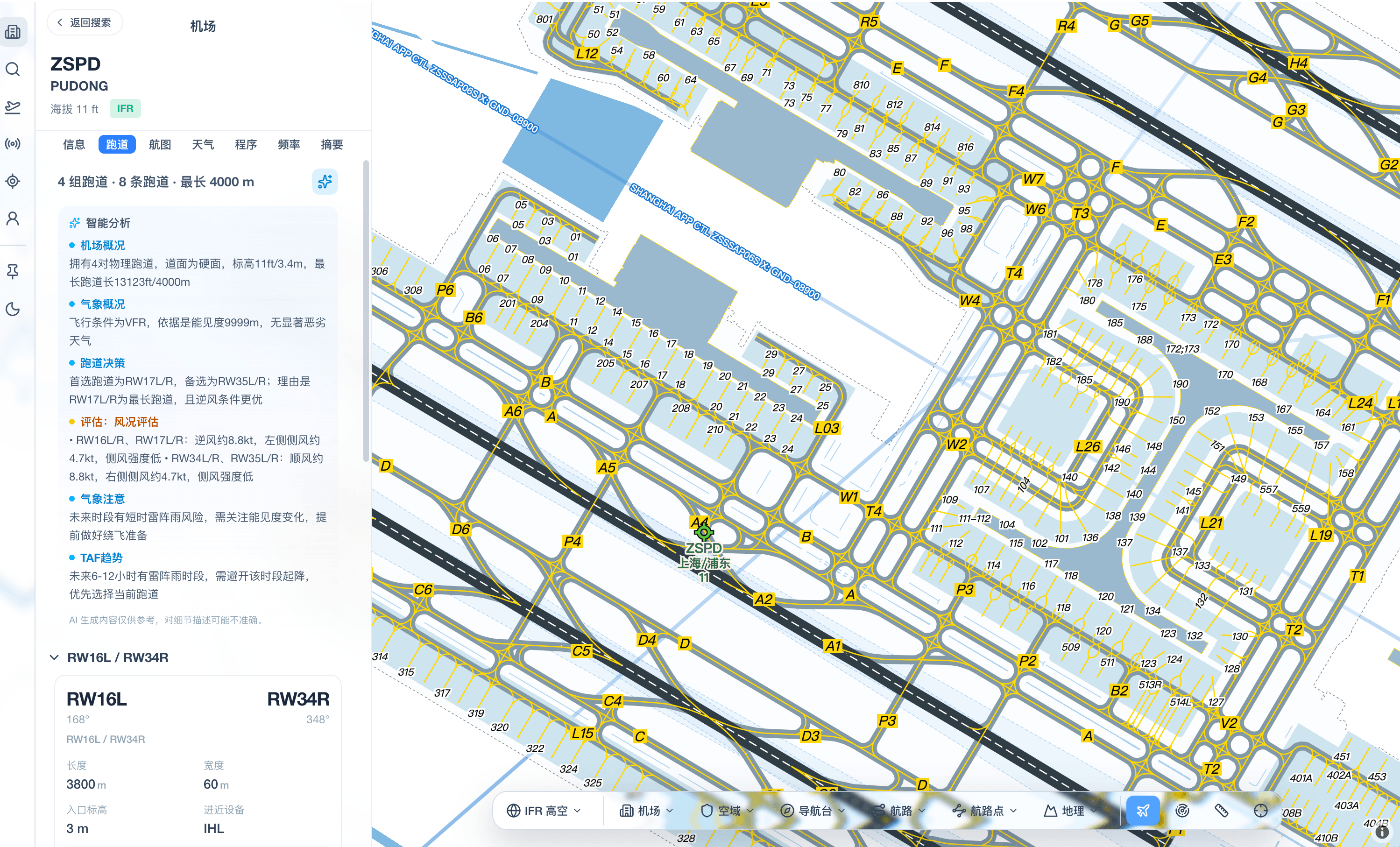
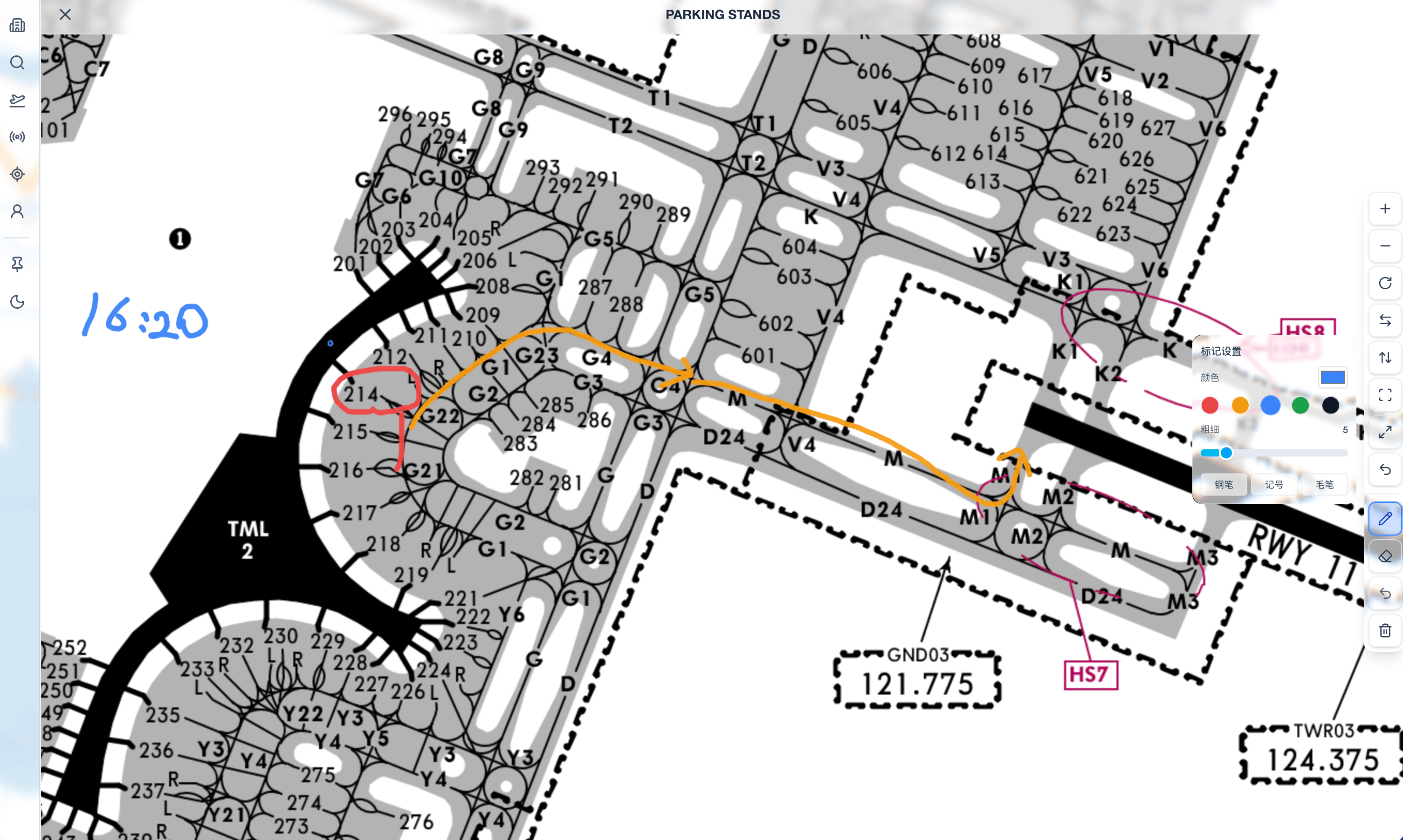
Terminal, apron, and airside charts open alongside the map, providing the detail needed for ground movement and local orientation — tied to the airport under review rather than scattered across separate documents.
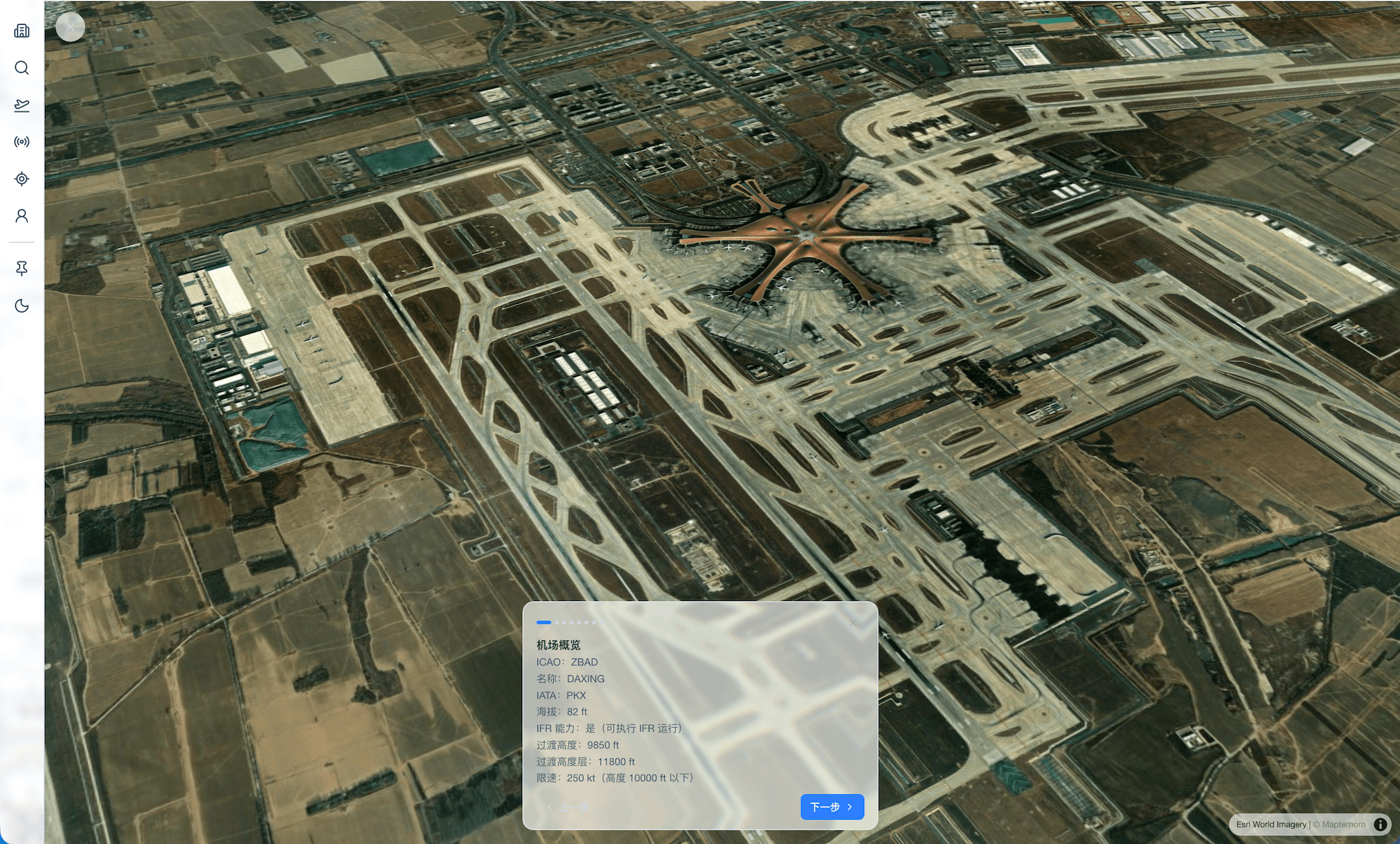
The Airport Ops familiarization view combines apron geometry with the surrounding environment, making it easy to study the airport before operations — taxi routes, terminal context, and landmarks stay in the same preparation view.
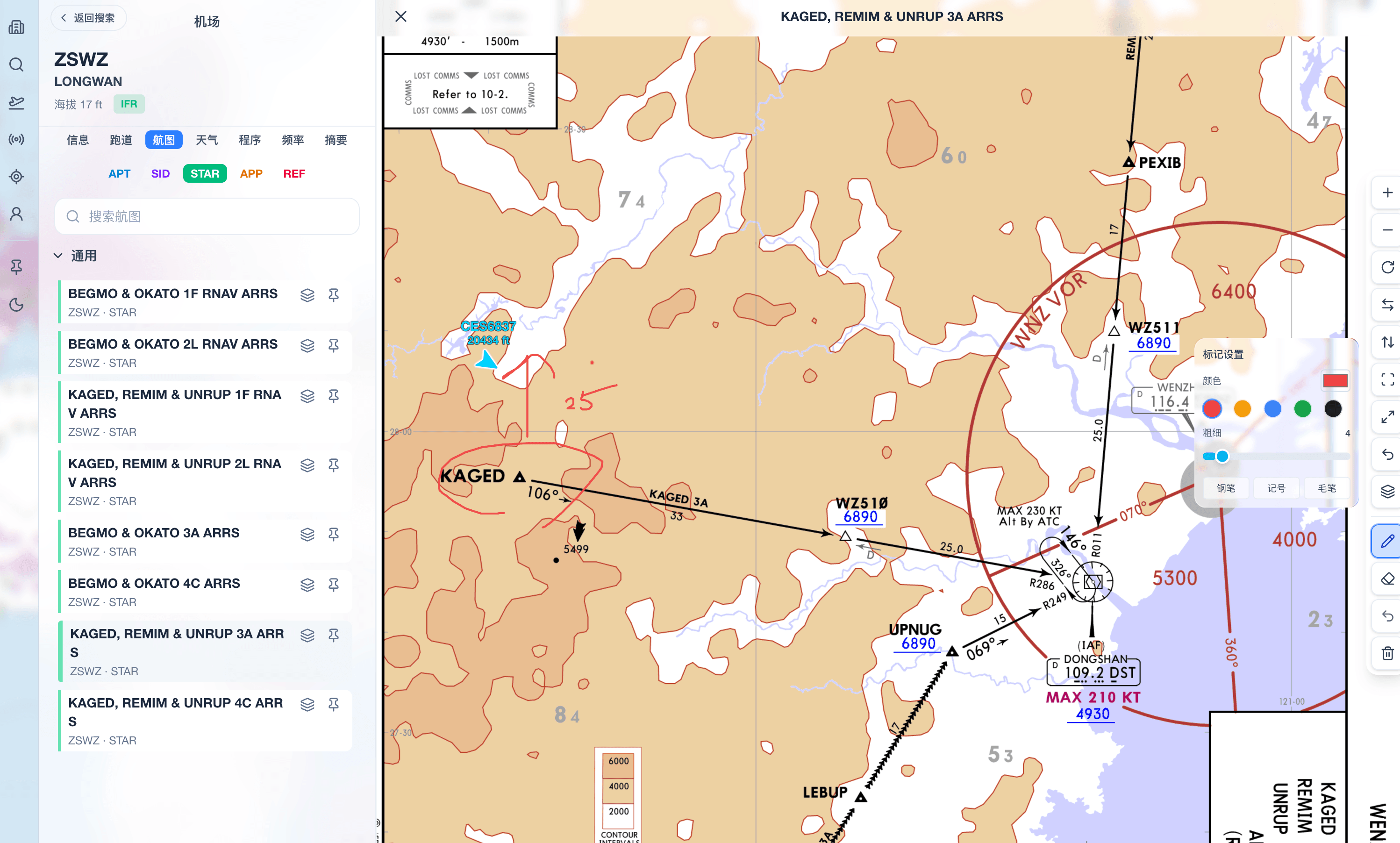
Jeppesen-style charts are rendered on a dynamic map with OwnShip, heading, and track always visible — so position and orientation aren't lost while panning, zooming, and reviewing chart details.
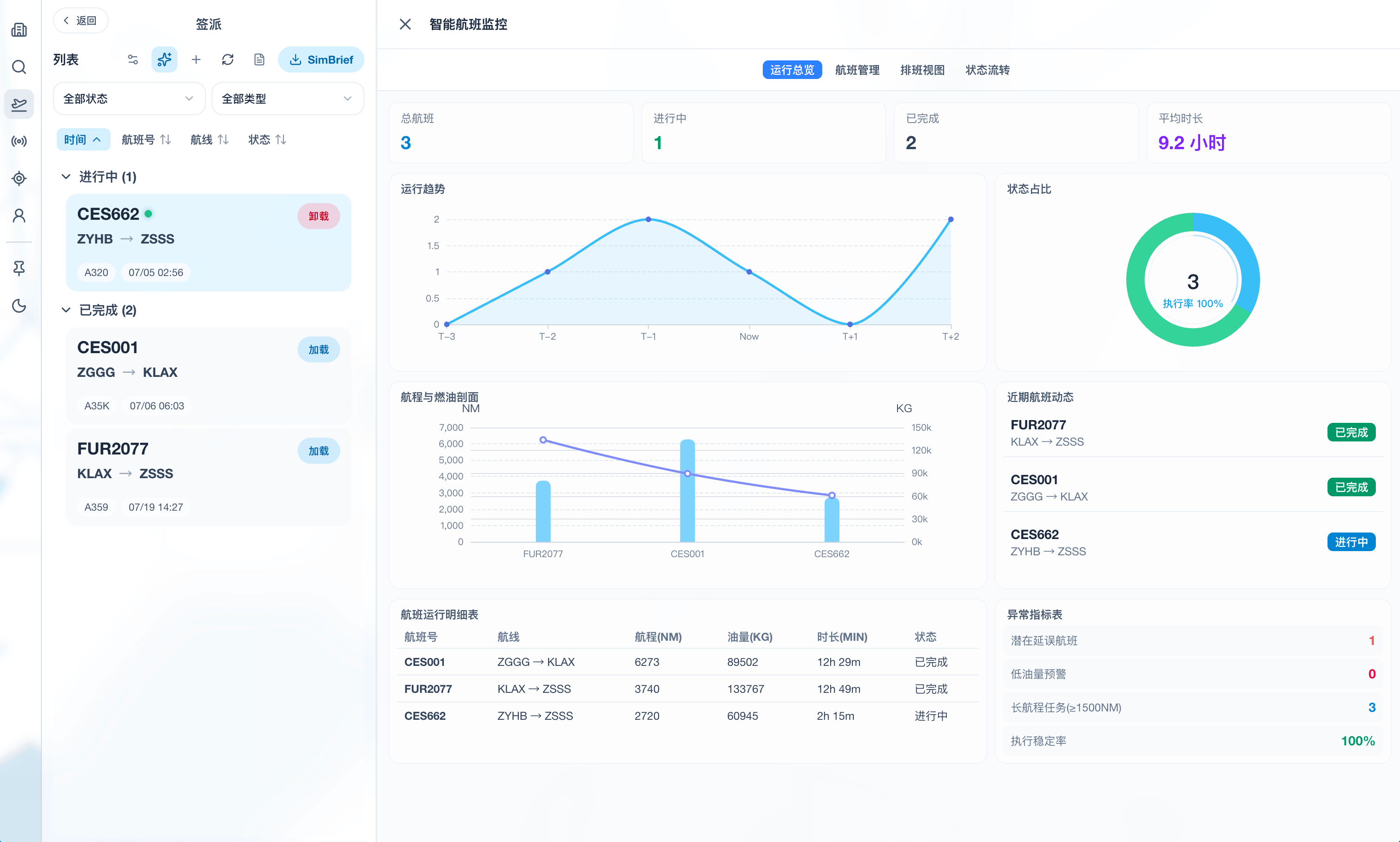
The Electronic Flight Folder keeps briefing documents, release materials, and flight files within the dispatch workspace — EFF materials sit alongside the same leg's plan, timeline, and monitoring fields.
AI Assistance
AI in PilotDock OS is embedded alongside the views you're already using — dispatch, enroute map, airport, and weather — rather than as an isolated chat window. Answers are grounded in the same flight plan, route, airport, and weather data on screen, whether for structured leg briefings, SIGMET interpretation, runway configuration, or METAR reading. The thumbnails below show typical AI interfaces within dispatch and airport workflows.
How It Works
Shared modules transform standardized data into maps, computations, and interconnected product capabilities.
Ingest routes, terminal areas, airports, AMM, weather, and procedure data into a single foundation.
Aviation-focused map rendering presents procedures, terrain, weather, and airport details.
Reusable computation modules handle route search, graph algorithms, geometry, and procedure analysis.
PilotDock OS workspace hosts planning, briefing, airport familiarization, and in-flight situational awareness.
PilotDock OS
PilotDock OS is more than a chart viewer — the enroute map and dispatch workspace bring flight planning, procedures, weather, and airport information into a single product experience.
Shared aviation data, rendering, and computation modules power both focused views and the full EFB workspace.
Technology Foundation
SKYline PilotDock OS is built on an aviation data system, custom rendering foundation, and reusable computation modules.
Routes, terminal areas, airports, AMM, weather, and procedure data are standardized and reusable across the product.
A custom visualization foundation supports procedure geometry, terrain, weather, and detailed airport views.
Rust and WebAssembly power route search, graph algorithms, geometry, and procedure analysis across clients.
Releases
PilotDock OS 1.6.0 is available on Web, Android, iOS, Windows, and macOS.
View Releases